Exploration
2023 Exploration Program
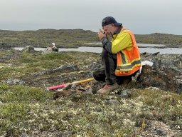
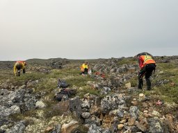
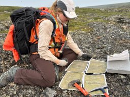
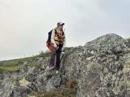
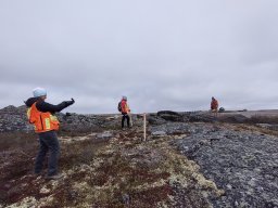
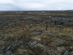
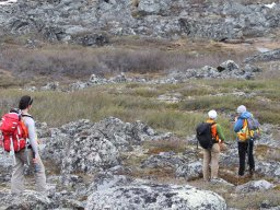
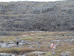
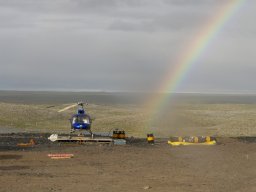
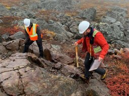
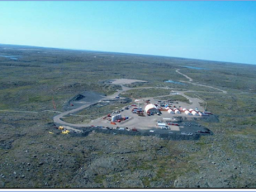
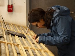
The program included a multi-prong exploration effort across the Company's Ulu Gold Project in Nunavut, including ground-based geophysical surveys, ground-truthing pipeline targets, mapping, lithogeochemical sampling, and prospecting. The program was focused to identify and advance targets throughout Blue Star's highly prospective landholdings to be drill ready for a 2024 discovery program.
Blue Star Gold’s Projects
The Company's properties are located approximately 525 km NNE of Yellowknife, in the Kitikmeot region of western Nunavut. Kugluktuk is approximately 210 km to the NW. The total area of Blue Star's projects cover over 45 km of the highly prospective and underexplored High Lake Greenstone Belt.
The Ulu Gold Project, comprised of the Ulu Mining Lease and the contiguous Hood River Property, encompasses greater than 12,000 hectares of high potential exploration ground. The recent acquisition of the prospective and underexplored Roma Project increased the Company's landholdings by more than 14,000 hectares in the High Lake Greenstone Belt.
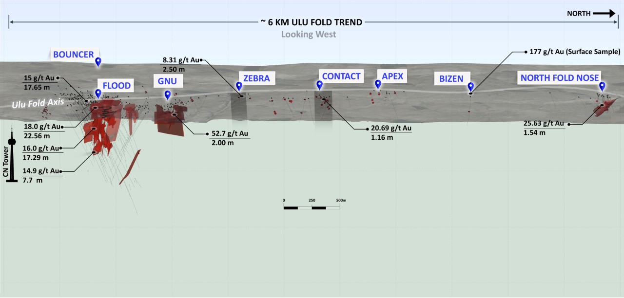
The Ulu Mining Lease hosts the advanced stage Flood Zone gold deposit, where a significant high-grade gold resource has been outlined. Several additional gold prospects are spatially related to the axis of the 5 km long Ulu Fold, which extends from the Ulu lease onto the northern part of the Hood River Property and culminates at the North Fold Nose Zone. The recent expansion of the Hood River concession added several new target zones south of the Flood Zone gold deposit. The eastern side of the Hood River Property is contiguous to the Ulu Mining Lease, and hosts over twenty known gold showings. The Hood River prospects have the same deformation history (including tight folding) as well as similar mineralisation styles (acicular arsenopyrite and polymetallic quartz veins) and stratigraphic sequences as the Flood Zone.
The Roma Project lies in the northern section of the High Lake Greenstone Belt. The project covers high grade gold showings discovered by previous explorers, notably BHP Minerals from 1988 to 1994. Multiple significant gold showings are present within a 6.5 km x 2.4 km area on the historic Roma claim block. The original showing is a 0.30 to 3.0 m wide quartz vein exposed in outcrop and boulders for 2 km. In 1991, BHP drilled ten shallow holes totaling 465 metres to test 1.72 km of the strike of the vein. All drill holes intersected quartz veins from 15 m to 37 m vertically below surface. Visible gold was noted in three of the drillholes and the best results were 12.38 g/t gold over 2.31 m (including 64.0 g/t gold over 0.37 m) from DDH MD-01, and 8.69 g/t gold over 1.87 m from MD-03. No drilling was conducted downdip of the high-grade intersection in DDH MD-01 and no step out drilling to the north from this intercept was conducted. No follow up drilling is known to have been completed on this property since BHP's initial drill program in the 1990's. The company has not verified the historical results from the Roma Project and has presented information obtained from two assessment reports submitted by BHP Minerals: G. McMaster (1995), Roma 3, 4, 5 and 6 claims 1995 geological and geochemical report; and L. Anonby and W. Jopson (1992), geological, geochemical, geophysical and drilling report on the Roma 1 and 2 claims.
The Auma Prospect is located on the western margin of the High Lake Greenstone Belt and covers high grade gold showings discovered by previous explorers, notably BHP Minerals from 1990 to 1995, Strongbow Resources from 2004 to 2006 and Oz Minerals from 2007-2008. In 1995 BHP undertook drilling of six ‘gopher’ holes in two zones; results from Zone 1 included 2.6 m of 15.3 g/t gold (AR083564 Zaremba,C. and Takenaka,C. 1995 Geological, Geochemical and Geophysical Report on the Bamakao6 and 9 Claims, NTS 76M3. BHP Minerals Canada Ltd.). In 2006 Strongbow mapped the area in detail and noted numerous unsampled veins; sampling also discovered Zone 3 with a grab sample value of 39.3 g/t gold (AR084947 Strongbow Exploration / Allyn Resources 2004-2005 (Bryan 2005)). In 2008 Oz Minerals evaluated the area with a result of 183.79 g/t gold from Zone 3 (pers.comm., T.Toole, 2023).
The site of the future deep-water port at Grays Bay is 40 - 100 km to the north of the properties, and the proposed route corridor for the all-weather Grays Bay road passes near the Roma and Ulu Gold Projects.
Highlights:
- Blue Star is the largest title holder in the highly prospective and underexplored High Lake Greenstone Belt in Nunavut.
- The Company holds a 100% interest in three projects including the Ulu Gold Project and the Roma project.
- The Ulu Gold Project hosts the Flood Zone deposit, where a significant high-grade gold resource has been outlined.
- Excellent resource expansion potential exists in a number of identified targets over the Company’s extensive landholdings. The first ever compilation and systematic desktop review of +100 historical exploration targets was recently completed; abundant discovery potential exists in the pipeline of prospects with drill-ready targets.
2023 Exploration Program
- NEW discovery ”Mikigon Prospect” is a sediment hosted mineralised structure traced for 550 metres into overburden (open), highlighted by samples returning 47.1 grams per tonne (“g/t”) gold, 29.6 g/t gold, and 22.7 g/t gold;
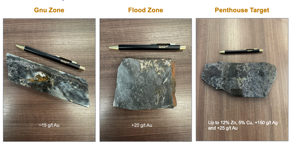
- Pipeline target Penthouse confirmed to be a precious metals rich base metal prospect, traced on strike for 400 metres (open), highlighted by samples returning 26.9 g/t gold, 184 g/t silver, 5.73% copper, 7.12% zinc; and 1.54 g/t gold, 8.59 g/t silver, 0.345% copper with 6,850 g/t cobalt;
- Pipeline target Rhonda confirmed to be a precious metals rich base metal prospect, at a flexure in a mafic volcanic over sediment contact zone, highlighted by samples returning 6.04 g/t gold, 69.9 g/t silver, 0.587% copper, and 12.4% zinc;
- Bamako showing (now the Auma Prospect) staked as part of the Roma Project, historical work indicates a 1.5 km long AEM conductor associated with a magnetic anomaly coincident with quartz-pyrrhotite veining; multi-ounce gold grab samples returned with a historical drill intercept of 15.3 g/t gold over 2.6 metres in a ‘gopher’ drill hole.
- Auma prospect returns 47.6 g/t gold from sample with visible gold;
- New showings identified north of the North Fold Nose (NFN) resource area returned 5.50 g/t and 3.03 g/t gold from quartz vein samples, and 8.78 g/t gold from sulphide pod in deformed sedimentary rocks; and
- Several other pipeline targets returned elevated gold values, including:
- Blackridge: 3.51 g/t gold
- Central Breccia: 5.75 g/t and 4.91 g/t gold
- Zebra-Dagg Trend: 13.6 g/t, 7.56 g/t, 5.42 g/t and 3.26 g/t gold
- Interlake: 3.90 g/t gold, 9.84% and 5.77% zinc
- South Zone-Twilight: 3.31 g/t gold
- Ulu West Subzone B/C: 27.3 g/t, 7.98 g/t and 6.66 g/t gold
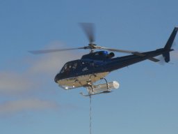
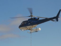
- The geophysical component of the 2022 program included 1,690 line km at 50 – 100m line spacing flown over the entire Roma landholdings, and 1,365 line kms at 50m line spacing flown over the entire Ulu lease and Hood River concession that was not previously conducted in the 2021 survey.
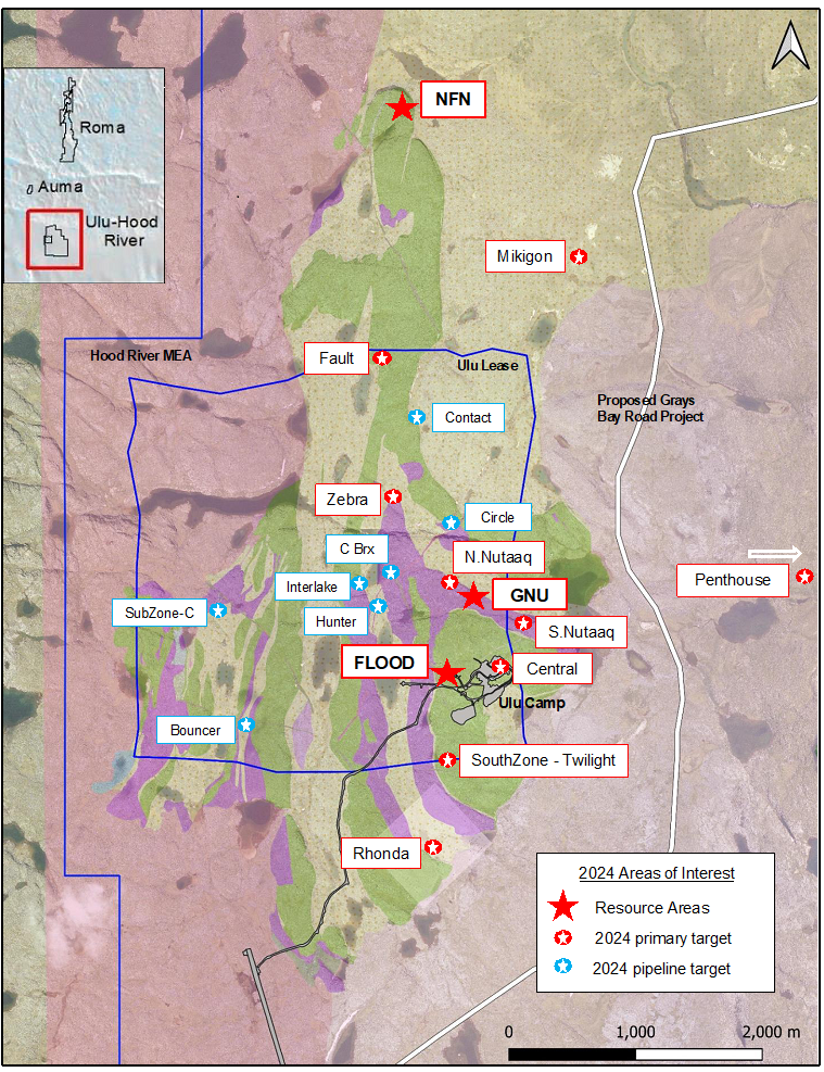
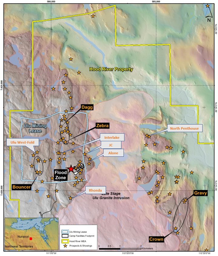
Location Map of Targets at Ulu Gold Project
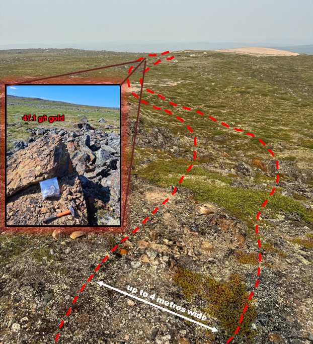
Mikigon Prospect; Trend is Over 500 Metres Long and Open to the North
Technical Disclosure
Darren Lindsay, P. Geo. and Vice President Exploration for Blue Star, is a Qualified Person under National Instrument 43-101 ("NI 43-101") and has reviewed and approved the technical information contained on Blue Star’s website.
Exploration
2022 Exploration Program
The 2022 program entailed a multi-prong exploration effort across the Ulu, Hood River, and Roma projects with two key focuses: infill and expansion drilling, and pipeline target review and development throughout the Company’s highly prospective landholdings.
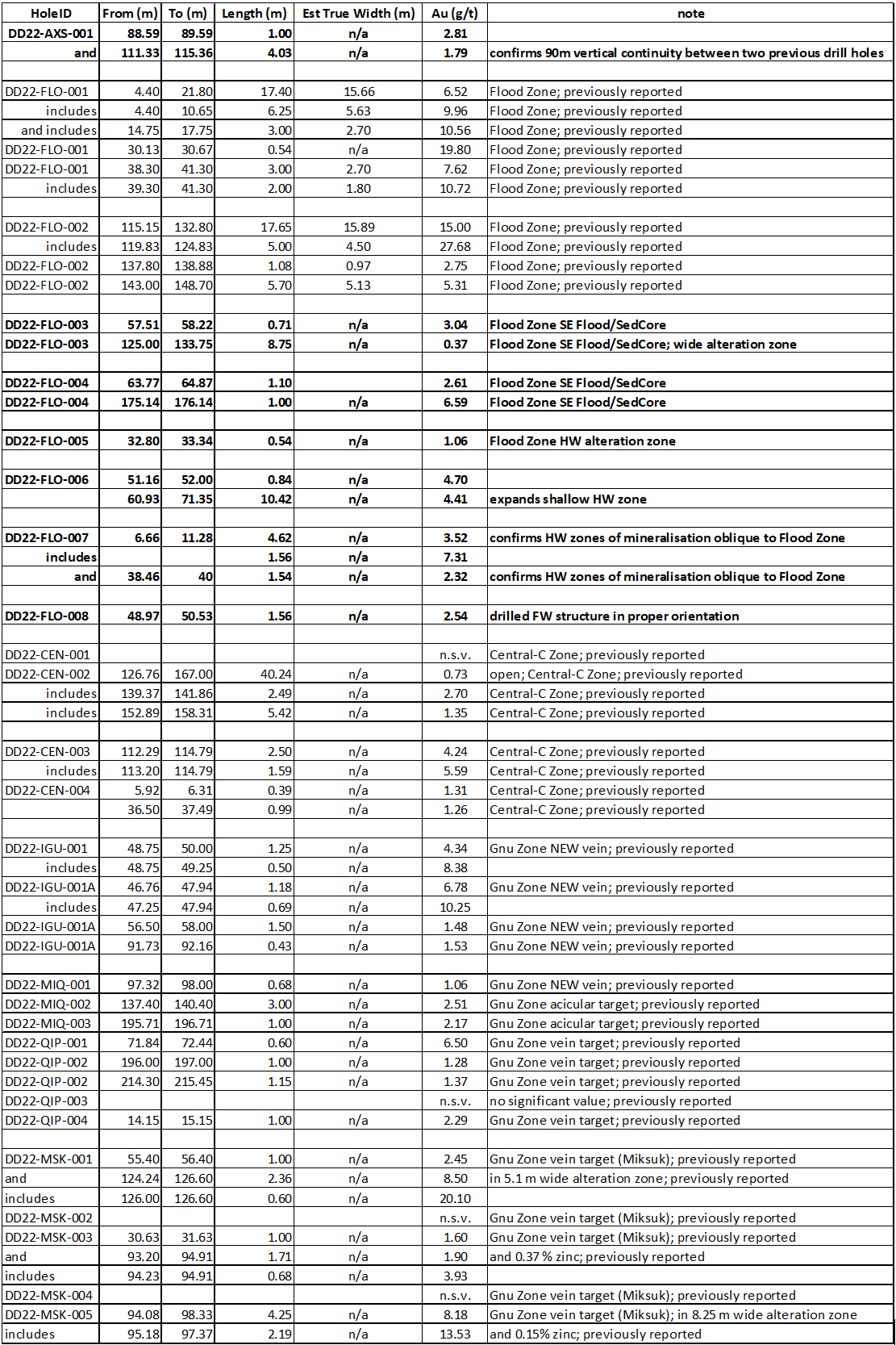
2022 Drill Program Results Highlights:
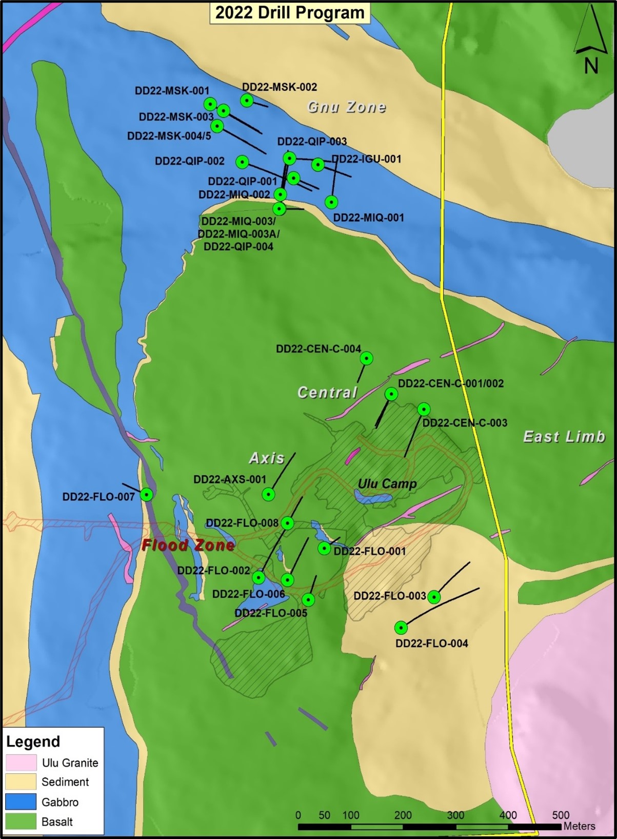
- 15.00 g/t gold over 17.65 m, including a 6.00 m interval of 25.74 g/t gold from DD22-FLO-002. This represents the highest value (grams gold x width metres) of all intercepts drilled by the Company
- 6.52 g/t gold over 17.4 m, including 9.96 g/t over 6.3 m; in DD22-FLO-001
- 8.18 g/t gold over 4.2 m, including 13.53 g/t over 2.19 m starting at 94.08 m downhole; in DD22-MSK-005
- 8.50 g/t gold over 2.4 m, including 20.10 g/t over 0.60 m starting at 124.24 m downhole; in DD22-MSK-001
- 4.41 g/t gold over 10.42 m, expands a shallow Flood zone hanging wall zone; in DD22-FLO-006
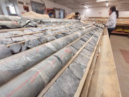
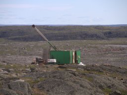
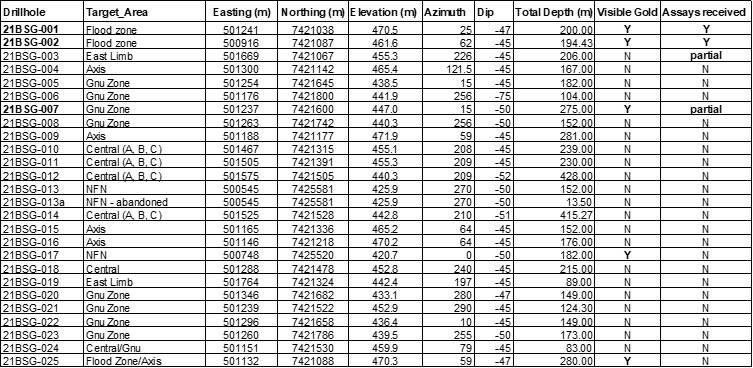
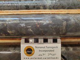
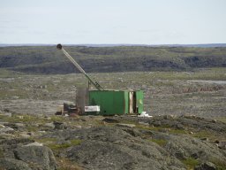
- A total of 3,700 metres of NQ diamond drilling in 25 holes was completed across four key target areas during the program, including the Flood Zone, the Axis Zone, the Gnu Zone and the Central-C Zone
- A 3,055 line-km airborne magnetics survey was completed, providing complete coverage over the Company’s extensive landholdings
- Included 1,690 line km at 50 – 100m line spacing flown over the entire Roma landholdings, and 1,365 line kms at 50m line spacing flown over the entire Ulu lease and Hood River concession that was not previously conducted in the 2021 survey
- A regional till sampling program on the Roma Project
- 58 of the >100 showings in the target pipeline were reviewed, prospected, and/or mapped outlining priority target areas identifying numerous high-grade gold showings (see Target Pipeline Map below):
- Bouncer trend (~1,500 metres W of Flood Zone deposit)
- Zebra-Dagg corridor (~1,800 metres NNW of Flood Zone deposit)
- Gravy trend (~5,500 metres ESE of Flood Zone deposit)
Exploration
Photos
Exploration
Photos / Videos

